Monday, April 11, 2022

Mill 3 to 1 bounce and attempts

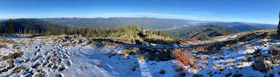
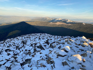
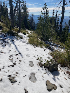
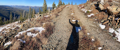
Great skiing on Mill Point.

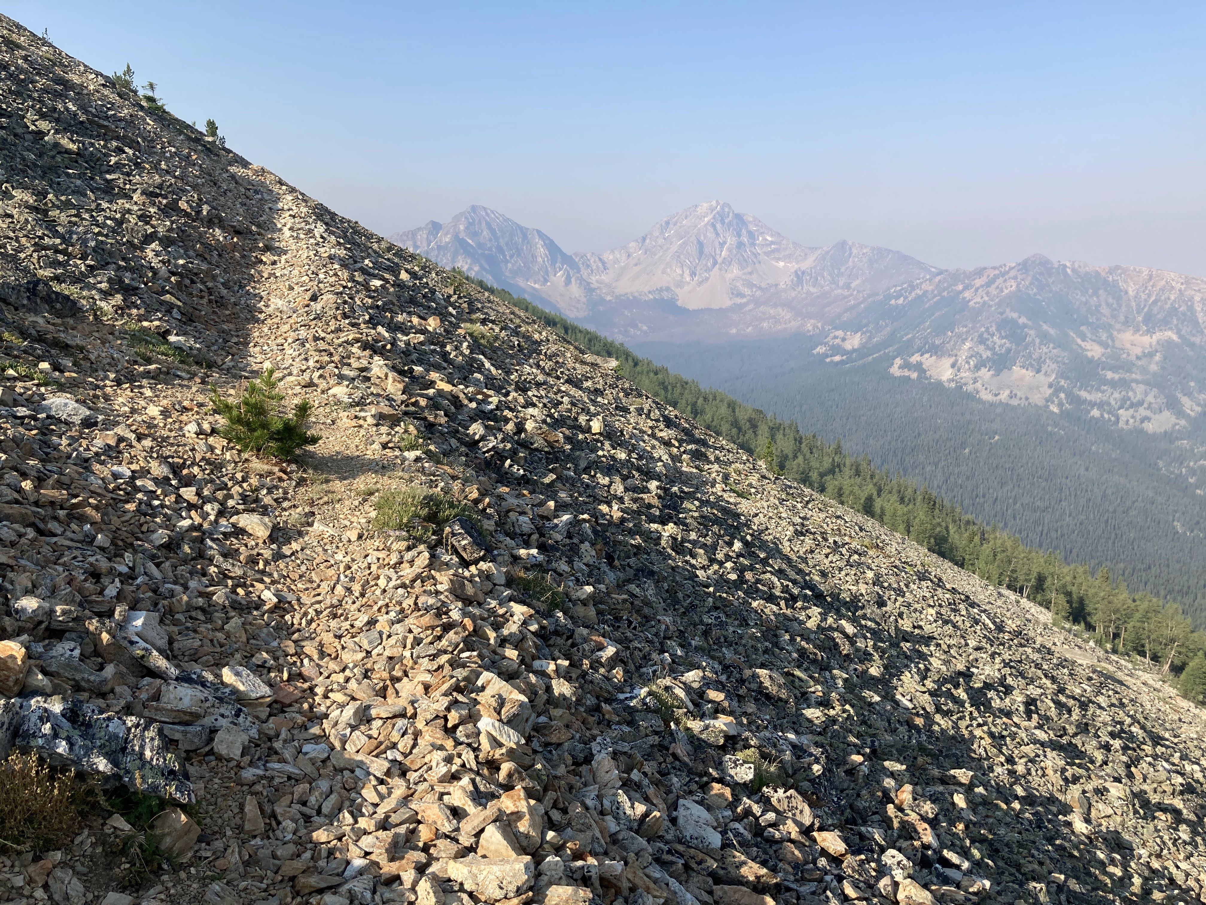
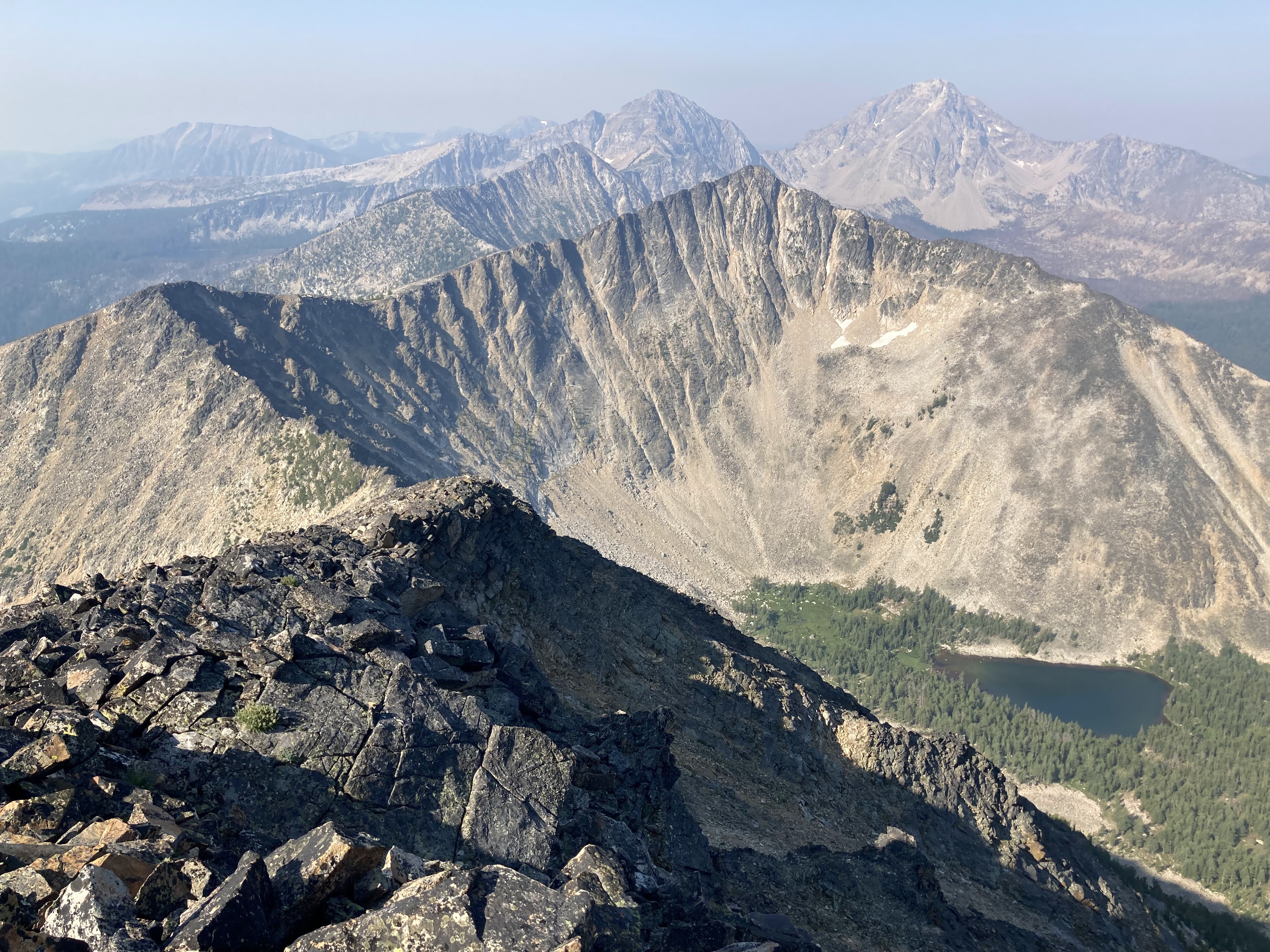
4/2. I set out on a blustery spring day with high hopes that the third try would be the charm.  Approach shoes ended up being the right choice, because I walked all the way in, prevailed in the re-gen battle, and climbed well into the Mill 2/3 basin before transitioning to skis.  The first run was down a nice ramp at the toe of the North Mill 3 buttress, which was an excellent addition to the day.  During the climb to Mill 3, the steep short crux pitch directly below the upper hanging larch ramp ended up being surprisingly stout, but I was able to surmount it.  The upper peak was mellow and delightful, and I was able to pass the crux pitch in the trees about 10 feet skier's left on the descent.  

Ramp below Mill 3.

The surprisingly vexing pitch on Mill 3 which I climbed just right of the ice bulge and skied in the trees climber's right. 

Up and up to the summit of Mill 2.

Despite heavy flurries, I felt confident enough in stability and conditions to head to the East face (Alaska face) of Mill 2.  Dust on crust skinning wasn't really happening, so I booted almost the entire climb up the Northwest gully one grinding step at a time to access the Alaska face.  To my surprise, the East face was a mess from recent wet slides, but while my skiing was not fluid, I was still able to get down it safely.  The climb to Mill 1 was accomplished with a lot of booting up slippery dust on crust.  By this point in the day, snow squalls had deposited up to 5" of fresh snow, and I was treated to smooth powder in the Southeast bowl of Mill 1.  What a treat!  Snow petered out just below the terminus of the bowl, so I terminated the run slightly early and huffed it up and out to the East shoulder of Mill 1.  The exist ski was great, and snow line was not too high for early April.  I really enjoyed the tenor of the day slowly but methodically stitching technical terrain together, with mixed weather and every type of snow imaginable, alone in my thoughts.

Unfriendly conditions on the Alaska face of Mill 2.

Mill point in great condition.

Thoughts It was nice to get this one done.  I think that the thrashy approach and steep step on Mill 3 will keep a Mill 3 to 1 link up from ever being popular, it is still a worthwhile outing, and skiing the lower Northeast face of Mill 2 from about 400 feet below the summit (rather than the Alaska face) would eliminate the one truly difficult ski objective.  A more realistic and perhaps logical tour would be to climb Mill 2 from Mill creek, ski a few runs, the use Mill 1 as an exit run to avoid doing the bushwack twice.  

Other 2022 Mill tours 

3/16.  During the first climb up the narrow basin just West of Mill 3, we observed one unsettling collapse, and were noted multiple signs of instability in the new snow.  As a result, we abandoned our original plan, found a safe way over into the Hauff lake basin, and took a few yo yo laps in safe, undulating terrain to get to 10k.  It was a weird day, and definitely a let down, but I was appreciative of Jeffrey's avalanche communication, and I am glad we didn't forge ahead in the face of uncertainty.

2/26

Alaska face of Mill 2.  About as good as it gets.

Nolan and I had a flawless run on the Alaska face of Mill 2 with about 20 cm of stable settled powder.  What a treat!  The rest of the day was kind of weird.  We skied the Northwest gully from about 200 feet below the top (to avoid the steep upper slab), then turned around at the base of Mill 3 due to stability concerns.  We wrapped the day up by skiing interesting re-frozen junk in the skier's right of a pair of nice little gullies in the Mill 2/3 basin before a smooth (by Mill creek standards) exit.  Great day.

Tuesday, March 1, 2022

Bass Super Bowl bounce

Good skiing.

On Super Bowl Sunday at the end of a mid-February dry spell. Ned and I rallied proper early for a long day in Bass creek.  The idea was to extend the classic bowl bounce all the way back to the trailhead.  We had a pretty good idea of the route, but had never pieced it together, and it was fun to cast off in the dark without assurance of success.  We summited North Bass peak in the customary five hours, not bad given the early start.  There was an extremely slippery, thin ice crust up high which kept us on our toes both up and down.  Fortunately, the crust was manageable, and the East face skied just fine. We rallied up the WNW face of Smokey Joe, then made our way across new-to-us terrain to the summit.  The Southeast face of Smokey Joe skied really nicely.  

Approaching.
Walking out to Smokey Joe.  Taking stock of the backdrop.

I had been low on calories all morning, and took a good break to catch up before boosting up to Lappi point.  As we turned the corner to solar aspects on the climb, the nasty ice crust melted, and conditions were much improved.  We skied the normal upper Lappi run to the lake.  Another long climb, punctuated with spotty at best routefinding on my part (think hanging on to scrub brush downclimbing thin rotten snow over rock slabs - sorry Ned!) had us on top of the high point just West of the Bass creek crags at a comfortable 2 pm.  We skied the most prominent Southeast facing gully which ended up being a long, classy ski run with surprisingly good snow.  So fun.  

On to Lappi point with our Smokey Joe run behind.

Skiing down to Lappi Lake.
Cruising down the upper bits of the Southeast gully behind Bass creek crags.
We were in new terrain now, ahead of schedule, and psyched.  I led the climb to the easy summit of Crown point.  I definitely ran way out of gas, but had plenty of energy to grind it out.  The ski down the easy East face of Crown point was objectively terrible - the snow was half refrozen, and my legs were surprisingly absolutely shot. Ned picked the route and led the way flawlessly, and I hacked my way down behind, spirits soaring from a fine day in the Bitterroot.  
Ned about to work some routefinding magic on the return ski to the trailhead.

Stats and thoughts:  11,700 vertical feet, about 12 hours.  I'm pretty excited to thread this line together.  It is a logical route with great skiing.  It also really suits my preferences of moderate skiing and interesting routefinding.  Really great day with Ned - definitely fed off of his motivation and experience in the range.  Pulling it off in a day is a challenge between the pure length, some trickery to connect ascent gullies in the second half, and having to catch the South faces of Crown point in a safe condition late in the day.  But still worth consideration for a solid touring party, especially since bailing back to the trailhead is possible for most of the route.  Since most of the route is high and in relatively safe and simple terrain, it should be in condition most normal years.  

I think there must be a better line between Lappi Lake and the top of the West Crown run.  It would be worth ironing that out, because Lappi to Crown would actually be a cool tour sitting unexplored under our collective noses.  

This tour was a good big one, but one could go even bigger in Bass...

Monday, January 3, 2022

Ninemile ramble, 2021

Fall splendor from Stark.

My longest fall outing was a link up of Ch-Paa-Qn, McCormick, and Stark mountains, each human powered from the Ninemile valley.  In order to get it all done, I was biking a very respectably early 5 am from the base of the Butler loop road.  The ride up to the trailhead was cold, slow, and included a (not scary) moose spooking in the dark.  The walk up Ch-Paa-Qn was nice.  There were a lot of down trees on the trail, and snow covered talus slowed progress, but it was spectacular to top out shortly after sunrise.  

Early morning on Ch-Paa-Qn.
After a quick descent, I drove to the base of the Josephine/McCormick road, feasting on pizza and cold coffee.  The bike up to McCormick was a really nice long grind, and the new to me trail to the peak was a treat.  It was great to climb a new summit.  After another quick decent, I drove to the base of the Rennic/Stark road, this time feasting on pizza and La Croix.  Stark was great.  I made a hard for me push and ran most of the trail to the summit, topping out to a warm fall evening and striking views.  I returned to the car legitimately tired but also excited for a challenging day spent entirely alone.  Final stats were 14.5 vertical feet and a bunch of miles in about 13 hours.
Near the summit of McCormick.

Final bits to Stark.

I drove between the base of each road, and the car supported nature of the day was fun, allowing for gear drop offs and a nice re set between peaks.  I'm excited for more in the Ninemile.  More bike run link ups, more long gravel bike rides, more skiing.  Especially in fall when the hills are full of golden larch.  Yes please to all of it.

Sunday, December 26, 2021

Pintler ridge loops

I had two really nice summer days in the Pintlers that were quality enough to merit documentation.  

Cutaway to Warren loop

Closing in on Cutaway pass.

July 18th.  Right at the beginning of fire season, I rallied early to link up the ridge line between Cutaway Pass to the Porter Ridge.  I was also curious to suss out the route over steep terrain on 10,259.  The morning was delightful, and even with meager running volume under my belt, I was able to run the immaculate trail most of the way up to the crest of the range.  The ridge to Beaverhead and beyond had lots of slow talus, but it is a non-technical and fun enough.  I got completely stymied attempting to drop into the notch on the East side of 10,259, but after a short backtrack, I found a way down to the cirque below the South face of the peak for a much needed snow/water refill. 

Typical terrain North of Cutaway.
10,259 was easily climbed using the couloir on the South end of the East face, then up the South ridge.  The descent down the West ridge was way easier than I expected, and the climb up the East ridge of Warren was fast and really nice.  I don't know if I am the only one, but I have not found a clean way to get off of Warren in the summer.  I decided to try walking all the way out Porter ridge, but ended up bailing early to Tamarack lake.  From the lake, a big water refill and long slow trail run got me back to the car.  
The normal view from Warren.

I though this loop was good.  I do wish most of the ridge line sections were cleaner with less loose talus, but it isn't out of character for the Pintlers.

Haggin to Short loop

Haggin (background left), and Short (background right) from 10,282

September 12.  I rallied extra early in the beginning of fall for a loop around the head of Mill creek.  I parked off of the Twelvemile creek road and biked around to the base of Haggin, then made a long push to the summit up the East ridge.  The ridge from Haggin to 10,282 was so fun - one of the finest in the range I think.  I dropped off the ridge into upper Mill creek, found water, and boosted back up toward 10,378 with renewed gusto.  I bypassed the summit of 10,378 for time, and headed straight for the technical looking ridge line just West of Short Mountain.  

Closing in on Haggin
Starting the technical section near Short Mountain.

The technical section ended up being tricky.  It is definitely possible that I spent too much time monkeying around on the North side of the crest, but I ended up having to negotiate quite a bit of steep and rotten mixed dirt and rock.  I never really got stuck, so I just worked through it and was on top of Short Mountain soon enough.  The descent to the car was really nice. A fairly abbreviated scramble down lead directly to the CDT trail, and four miles of fast trail running was just enough to make the legs feel like they had a proper day.  I returned to the car about 12 hours after embarking.  I thought this loop was really good and am excited to to it again. I would consider bypassing the crags West of Short mountain on the South if I do this outing again.

Thursday, November 11, 2021

East Pioneer traverse

Sunrise on the Pioneer crest.

My big summer outing was a traverse of the East Pioneer range.  Having not spent much time in the range, I spent the week before the outing scouring maps and Google Earth, planning out a feasible route with contingencies, and psychologically bouncing back and forth between excited and intimidated by uncertainty with the terrain, the elevation, the smoke, potential injuries, and the overall magnitude of the outing.  I didn't think that a complete traverse was realistic, so I left the car at Mono creek campground, with plans to traverse about 2/3 of the range.  The bike shuttle on the Scenic Byway was quick and easy.  And gorgeous, with smoke-free views into the range. I started the approach to Baldy by early evening, and by dark I was at a nice timbered camp on the lower flanks of the mountain.  It was good to finally be rolling.

I awoke earlier than expected on the first full day, and was headlamp bopping up Baldy before first light.  I summited shortly after sunrise and pointed it North.  Goal number one for the outing was to stay physically intact, with a close secondary goal of staying in the moment and enjoying the experience, and as such, I took breaks when needed and kept the pace nice and mellow.  Alturas 1, Alturas 2, and Highboy each clicked off quickly.  Since this trip was in the dog days of one of the most miserably hot summers I can recall, one of my strategic decisions was to bring a full gallon of water capacity, and having already downed a gallon of water, I ducked off the ridge for a big refill at Anchor lake.  

Smokey sunrise on Baldy.

Nice terrain between Alturas 2 and Highboy.

On Highboy, looking at the afternoon agenda:  Anchor lake, Torrey, and Tweedy.

I regained the crest just North of Sawtooth and basin hopped North.  I had originally planned stay on the crest all the way to Torrey, but the terrain looked technical enough that I opted to drop off the ridge and instead climb the peak by the looser but completely non-technical South face.  A good push put me on top.  Multiple trip reports had warned of real climbing between Torrey and Tweedy,  so I dropped most of the way down to Torrey lake to bypass the technical connecting ridge. I was still ahead of schedule, and decided to fill the evening out by also climbing Tweedy.  So, I ground it back up to crest and enjoyed evening light on the casual Southeast ramp of Tweedy.  I summited buzzing with gratitude for the incredible day.  The descent was terrible.  Loose, loose, loose.  I made it to a comfy camp at North Gorge lake by dusk.  It was nice to relax and enjoy a dinner of real food and a sip of spirits before tucking in for the night.   

Nearing Tweedy's summit.

View from camp.
I awoke early on the second day, and was rolling before first light, refreshed and feeling surprisingly good.  I had decided to avoid this technical section of the crest, and instead basin hopped one basin before regaining the crest shortly after sunrise.  To my delight, the terrain all the way to Tahepia looked spectacular - clean and fun and fast.  And it was.  What a nice ridge line! I managed to get stuck in some easy 5th class terrain down climbing Tahepia, but I still arrived at the Tahepia/Waukena saddle way, way ahead of my original schedule.  As a result, it now seemed like a traverse to Black Lion would be possible, which would allow for a complete traverse of the alpine section of the East Pioneers.  

Really nice terrain on the way to Tahepia.
 
Glad to be through the technical bits below Tahepia.

Inspired, I made decent time to peak 10,357. The terrain became slower and more technical, and I dropped to Teacup lake rather than slowly working along the crest.  The jaunt through the Teacup lake basin and subsequent climb to the crest were both easy and fun.  I found the going on peak 10,060 to be quite slow and scrappy, and coupled with a few minor routefinding blunders and some mounting fatigue, the day started to feel real. Soon enough though, I was back in easy cruising terrain. After another quick water break at an unnamed lake above Lake Abundance, I made a good push out to Black Lion.  Even with plenty of fatigue, the climb of the South peak and traverse to the North peak ended up being really nice.  I topped out on the last summit by late evening.  Wildfire smoke had been moderate for most of the trip, but it really rolled in on Black Lion. I stopped for the night at a nice comfy camp well below tree line when it got dark, not really wanting to throw down and rally all the way out to the highway.  I was a little bit too tired to fully enjoy dinner, but was still grateful for the last of the chocolate chip cookies.  I was over tired and slightly irritated by the smoke, and didn't sleep very well the last night. 
Looking back from 10,357. 
Getting psyched for an afteroon of scrappier terrain.
Approaching the Black Lion massif.

Up at first light, I followed a blazed path for about an hour to the Boulder creek trail, and from there, a few miles of easy trail was all it took to emerge at the trailhead before 9 am.  Since I had extended the outing farther than planned, I dropped my pack and jogged about nine miles along the Scenic highway back to the car.  Although I was ready to be done, pavement running felt surprisingly OK.  The rest of the day was spent retrieving my belongings, stopping for a hearty lunch at Fiesta Mexicana in Dillon, and driving home through some of the worst wildfire smoke we experienced all year.  

Last hour of the trip.  Looking back up at Black Lion during the morning walk out.
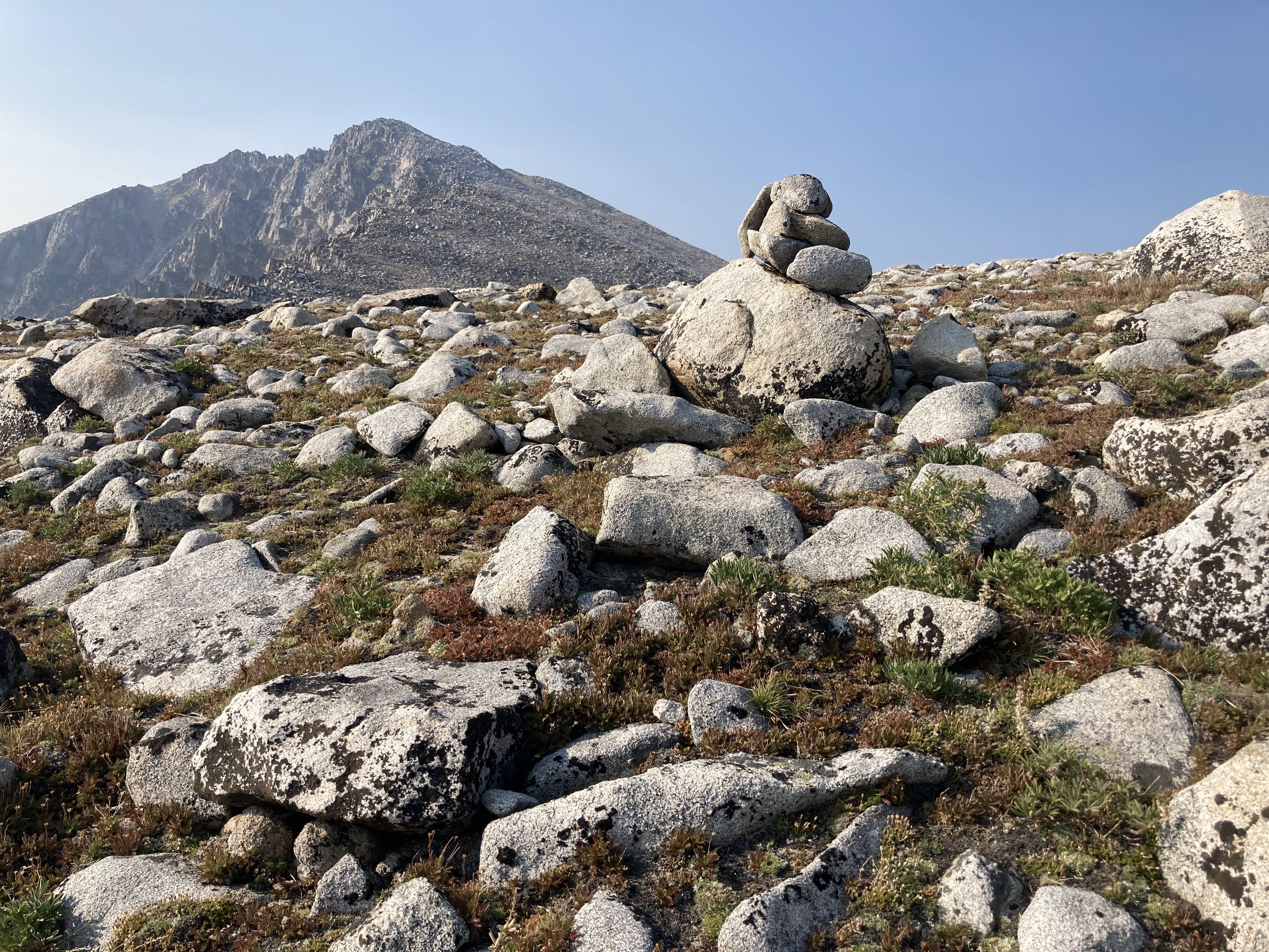
The outing was so good - challenging for sure, but also enjoyable and extremely rewarding.  Physically, I was pleased to actually get through feeling good, and recovered in well under a week.  It was pretty awesome to spend so much time in new terrain.

I want to spend more time in the range.  So many things to do, from long day link ups to short backpack trips.  And suss out the terrain around Torrey and Tweedy a little better - perhaps it truly is not possible to link the peaks easily along the connecting ridge, but boy that would make for such a great link up.  

I packed just a few more comfort items than in previous outings, including a pillow, light mattress, warm sleeping bag, and a book, and it was really quite nice to have a few extra creature comforts.  The gallon of water storage strategy was was heavy at times, but it was worth it to be able to stay up high for hours, and staying properly hydrated was totally clutch given the extra toasty afternoon temps.  I didn't track my route, so statistics are approximate, but my best map estimate is 19,900 vertical feet of climbing, not including the shuttle.  I was out for 63 hours, but that includes three nights of sleep.  Yes, it could be done a lot faster.  Also yes, I am completely satisfied with the trip.